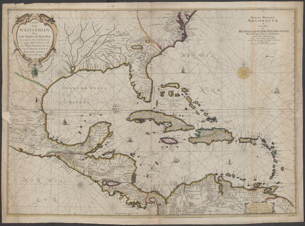
The image shows a map of the British Virgin Islands and the Caribbean Sea, with a black background.
Read full description
The image shows a map of the British Virgin Islands and the Caribbean Sea, with a black background. The map is of the West Indies, and is a detailed representation of the region, showing the various islands, bodies of water, and other geographical features. The text on the map is likely a description of the map, providing further information about the region.