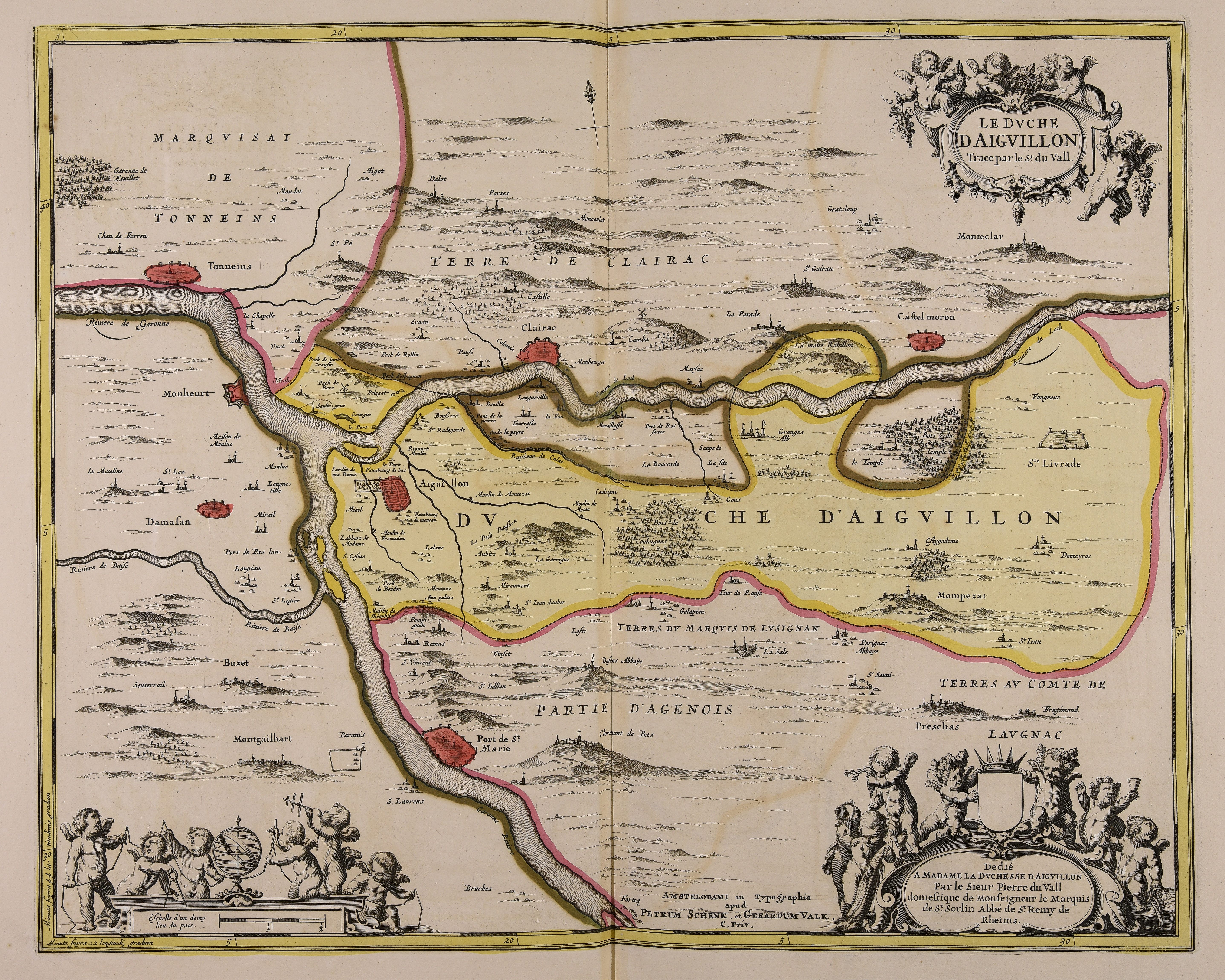
The image shows an old map of the British Isles, with the route of the Daugaville River winding through the region.
Read full description
The image shows an old map of the British Isles, with the route of the Daugaville River winding through the region. The map is filled with intricate details, including text and pictures, providing a comprehensive overview of the area.