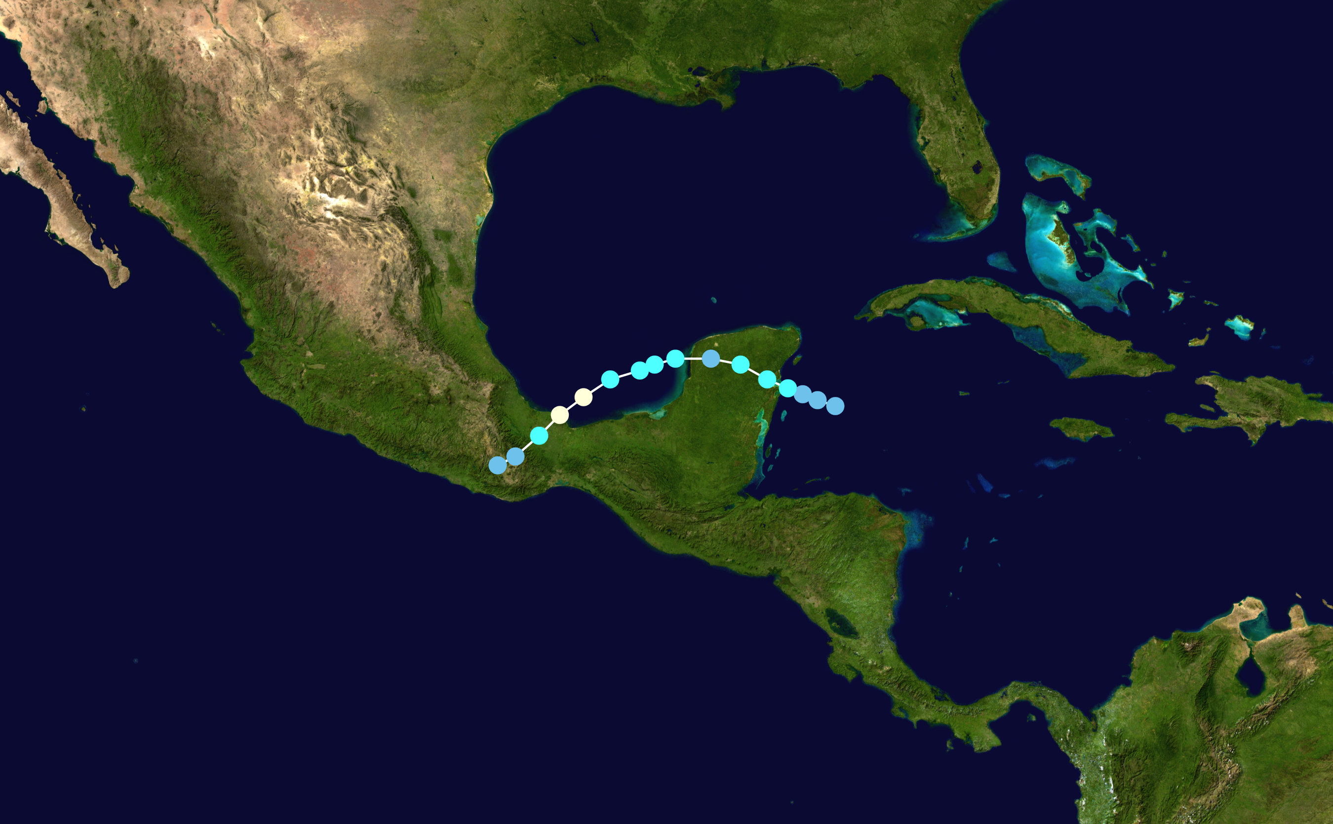
The image shows a map of the Gulf of Mexico with a blue line indicating the path of Hurricane Irene.
Read full description
The image shows a map of the Gulf of Mexico with a blue line indicating the path of Hurricane Irene. The map is detailed, showing the various cities, rivers, and other geographical features of the region. The blue line is a visual representation of the hurricane's path, with its distinct shape and size clearly visible.