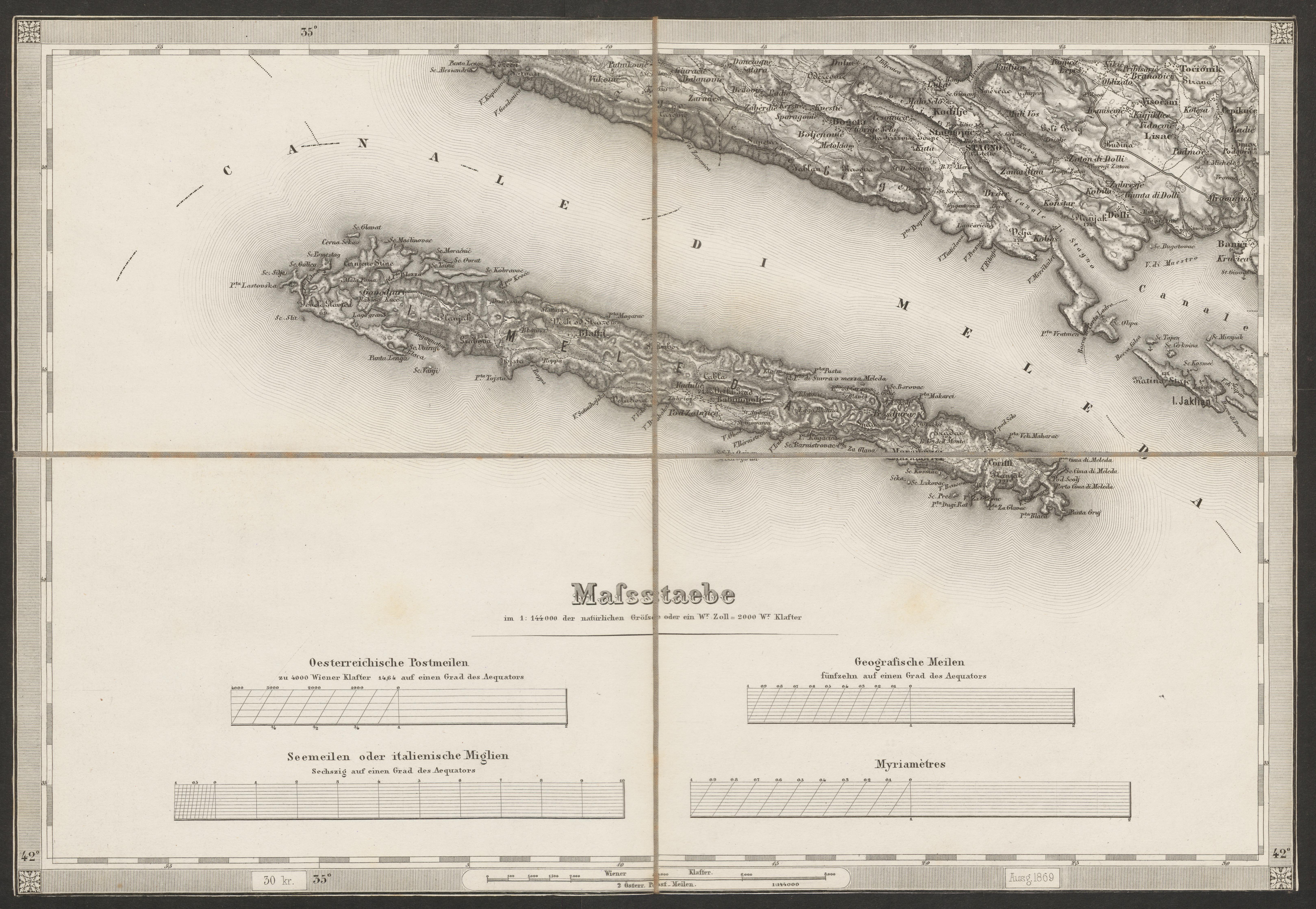
The image shows an old map of the British Virgin Islands, with a black border around it.
Read full description
The image shows an old map of the British Virgin Islands, with a black border around it. The map is detailed, showing the various islands and bodies of water, as well as the various bodies of land. The text on the map provides additional information about the islands, such as their size, location, and other features.