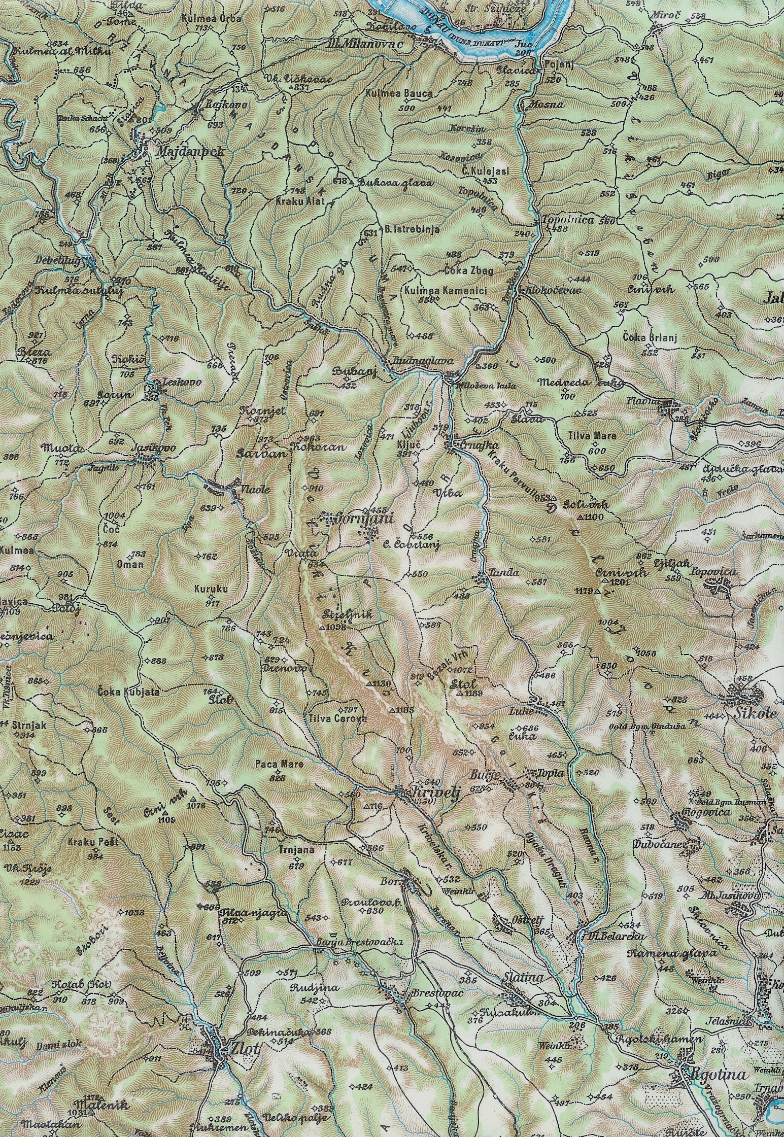
The image shows a topographic map of the area with a river running through it.
Read full description
The image shows a topographic map of the area with a river running through it. The map is detailed and shows the various elevations and contours of the terrain, as well as the surrounding area. The river is winding its way through the center of the map, surrounded by hills and valleys. The colors used to differentiate the different elevations are shades of green, brown, and beige, giving the map a realistic look.