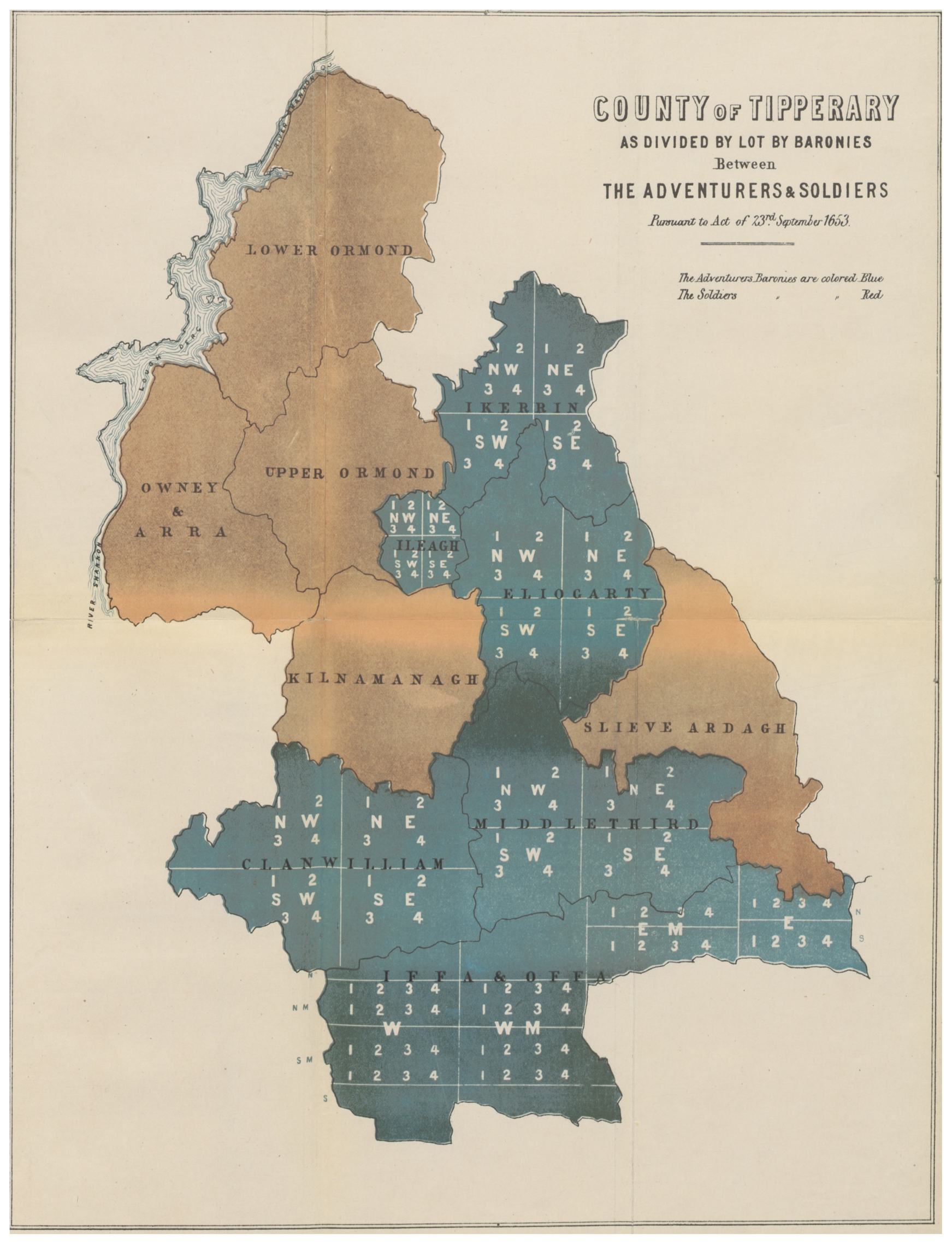
The image shows a poster of a map of the county of Tipperary, with text and numbers indicating the extent of the British Empire.
Read full description
The image shows a poster of a map of the county of Tipperary, with text and numbers indicating the extent of the British Empire. The map is filled with various shades of blue, green, and yellow, and the text is written in black. The numbers are arranged in a grid pattern, with each color representing a different county.