Public domain photos
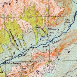
The image shows an old topographic map of the area, which is believed to be the site of the first earthquake in the area. It is a top view of the map, showing the contours of the land and the surrounding area.
 Open in library
Public domain photos
Open in library