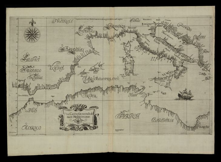
The image shows an old map of the British Virgin Islands, with a black background.
Read full description
The image shows an old map of the British Virgin Islands, with a black background. The map is from the 17th century and features text and a compass. It is a detailed representation of the island, with its various islands and bodies of water clearly visible.