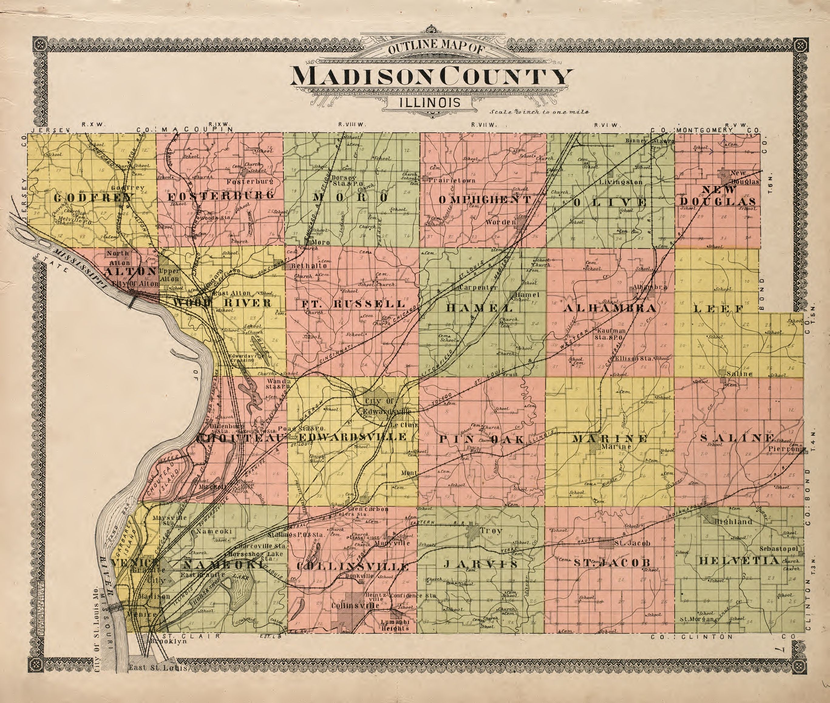
The image shows an old map of Madison County, Illinois.
Read full description
The image shows an old map of Madison County, Illinois. It is a detailed map with text at the top and bottom of the image. The map is filled with various colors and symbols, indicating the different counties and their boundaries. The text on the map provides additional information about the county, such as the names of the towns, cities, and other geographical features.