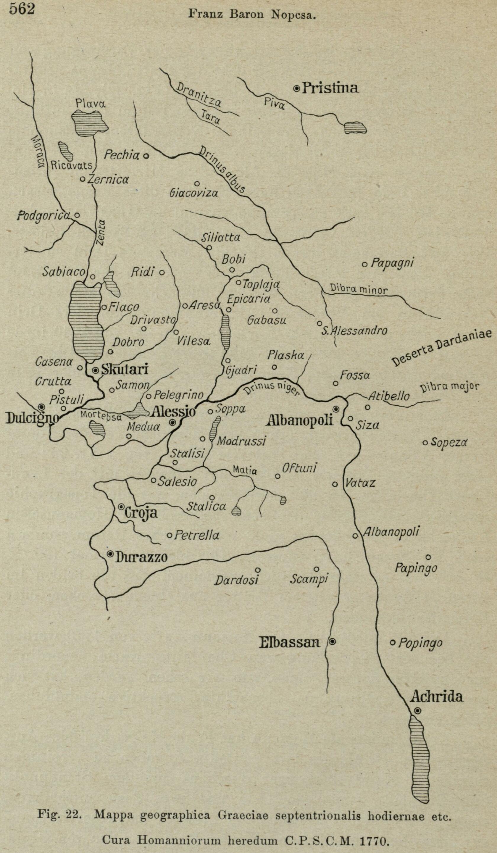
The image shows an old map of the Roman Empire, with text and numbers indicating the various geographical features of the region.
Read full description
The image shows an old map of the Roman Empire, with text and numbers indicating the various geographical features of the region. It is a detailed map, showing the various cities, towns, rivers, and other geographical features that make up the region, as well as the major cities and bodies of water. The map is filled with intricate details, such as rivers, mountains, and cities, and the text provides additional information about the region's history and culture.