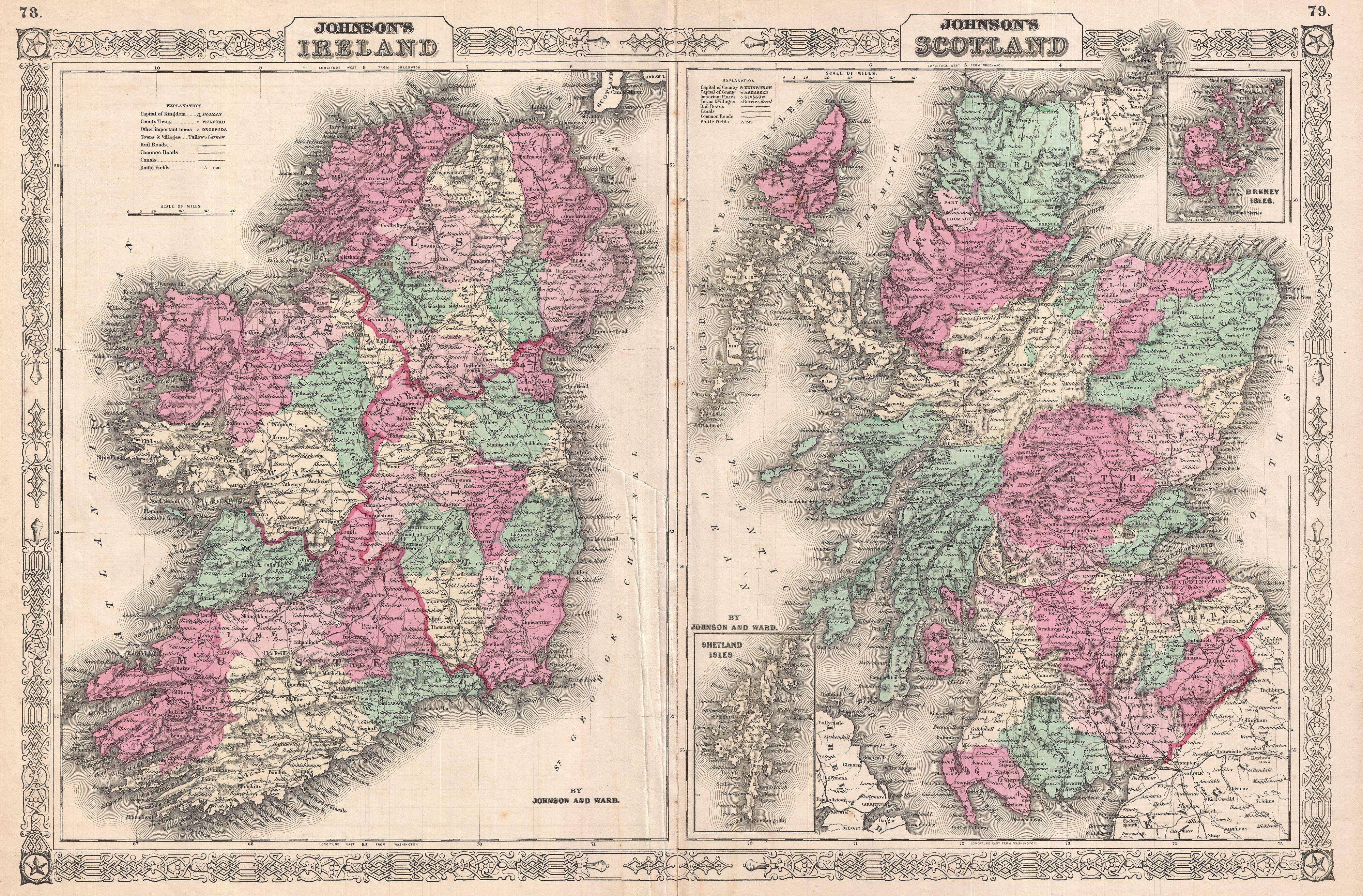
The image shows an old map of Scotland and Ireland, with the counties of Ireland and Scotland clearly visible.
Read full description
The image shows an old map of Scotland and Ireland, with the counties of Ireland and Scotland clearly visible. The map is printed on a paper, with text at the top and bottom of the image. The counties are labeled with their names, and the map is filled with intricate details, such as rivers, mountains, and cities.