Public domain photos
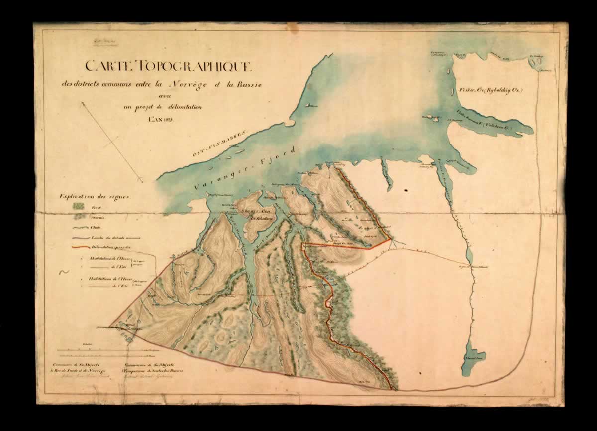
The image shows a map of the British Isles with a black background. It is a carte topographique from 1805, depicting the extent of the Great Lakes. The map is detailed and shows the various geographical features of the area, such as rivers, mountains, and cities. The text on the paper provides additional information about the map, including the names of the cities and towns within the region.
 Open in library