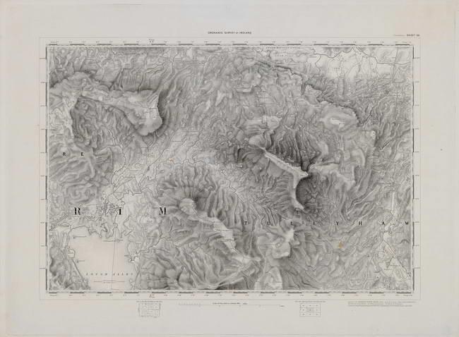
The image shows a topographic map of the area of the British Isles, with the Ordnance Survey of Ireland from 1885.
Read full description
The image shows a topographic map of the area of the British Isles, with the Ordnance Survey of Ireland from 1885. It is a detailed map, showing the various elevations and contours of the land, as well as the various geographical features such as mountains, rivers, and valleys. The map is printed on paper, giving it a crisp and clear look.