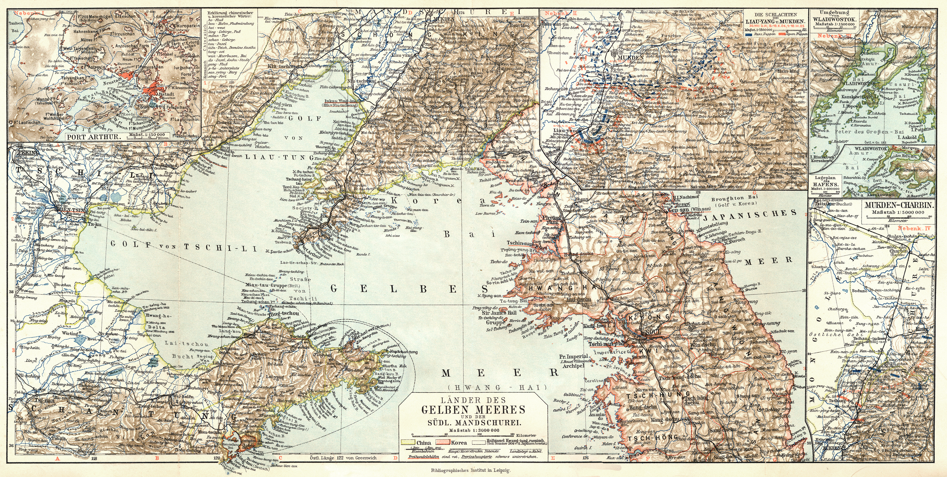
The image shows an old map of the British Isles and the British Virgin Islands, with text at the top and bottom of the image.
Read full description
The image shows an old map of the British Isles and the British Virgin Islands, with text at the top and bottom of the image. It is a detailed map, showing the various geographical features of the region, such as rivers, mountains, and cities, as well as the extent of the Atlantic Ocean. The map is filled with intricate details, including the names of cities, towns, and other geographical features, providing a comprehensive overview of the area.