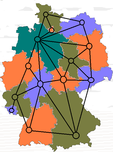
The image shows a map of Germany with a network of different colored dots connected to each other.
Read full description
The image shows a map of Germany with a network of different colored dots connected to each other. The dots are arranged in a radial pattern, with each dot representing a different region of the country. The colors of the dots range from light blue to dark blue, with some areas being darker blue and others being lighter blue. The map also includes a legend at the bottom, which explains the different colors and symbols used to represent the different regions.