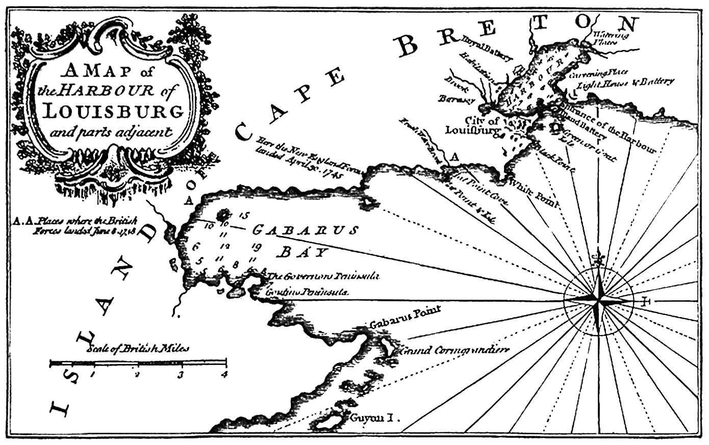
The image shows a black and white poster of a map of the harbour of Louisburg and parts adjacent to Cape Breton.
Read full description
The image shows a black and white poster of a map of the harbour of Louisburg and parts adjacent to Cape Breton. The map is detailed and shows the various ports and bodies of water, as well as the surrounding area. The text on the poster provides additional information about the map, such as the names of the ports and the distance between them.