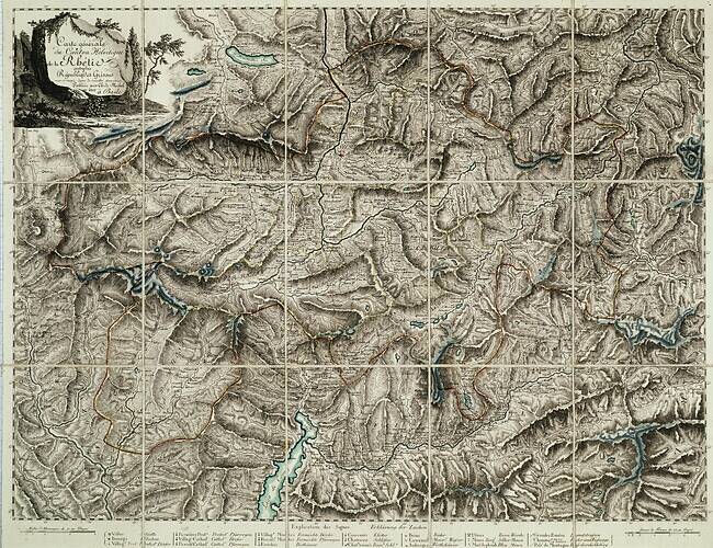
The image shows an old topographic map of the British Columbia region of the United States, with the Columbia River winding its way through the region.
Read full description
The image shows an old topographic map of the British Columbia region of the United States, with the Columbia River winding its way through the region. The map is printed on a paper with text at the top and bottom, providing detailed information about the terrain and features of the area.