Public domain photos
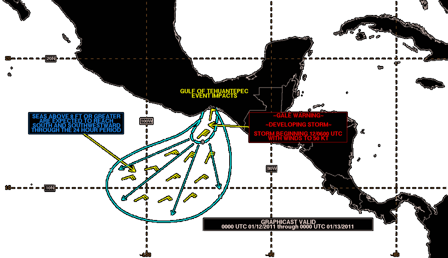
The image shows a map of the Gulf of Mexico with a line indicating the path of Hurricane Irene. The text on the map provides additional information about the hurricane, such as its current location, intensity, and projected path.
 Open in library