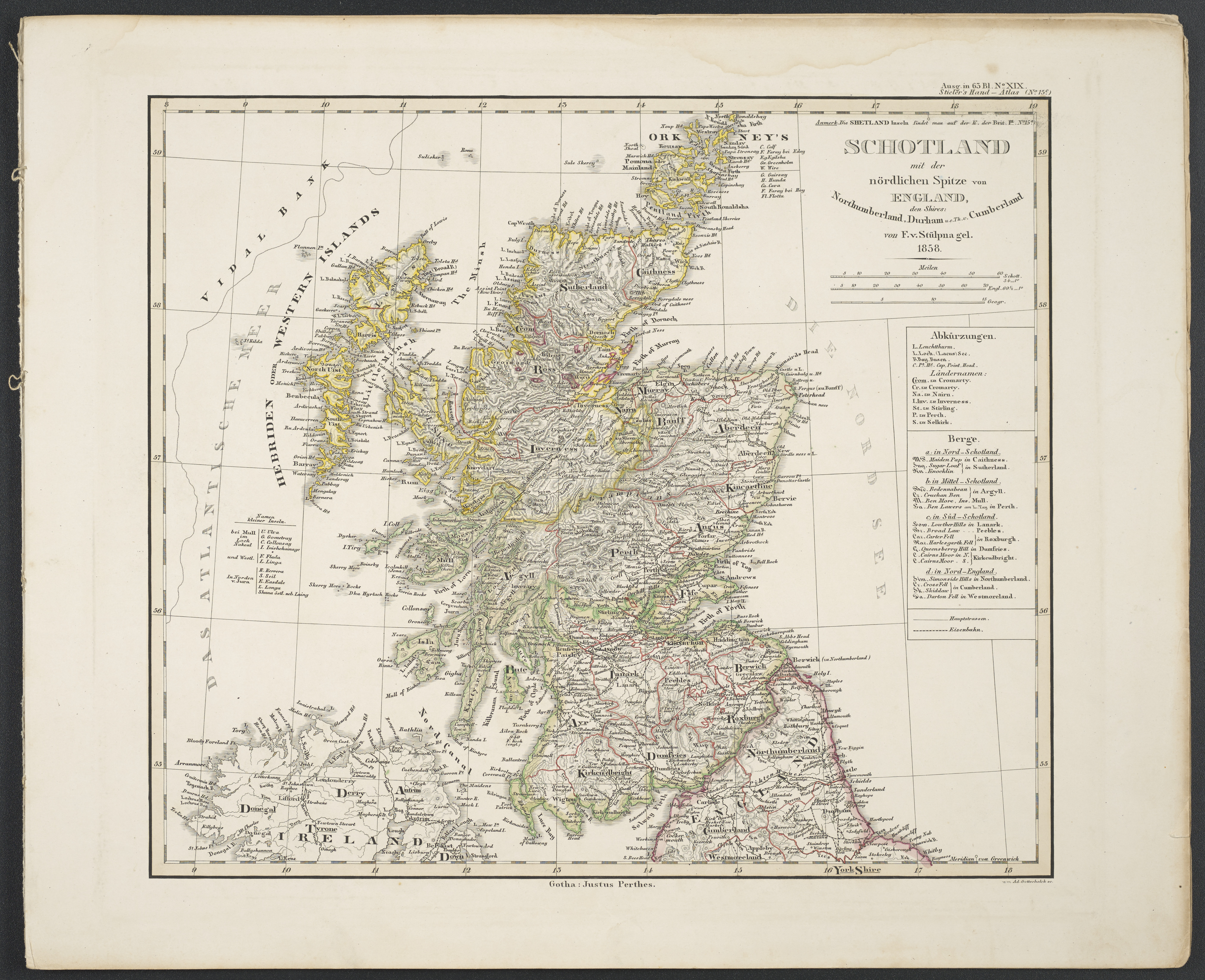
The image shows an old map of Scotland and the British Isles, with text on the paper and a black background.
Read full description
The image shows an old map of Scotland and the British Isles, with text on the paper and a black background. The map is from 1858 and is a detailed representation of the region, showing the various cities, towns, rivers, and other geographical features of Scotland.