Public domain photos
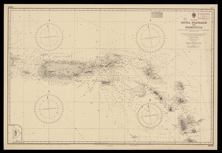
The image shows an old map of the British Virgin Islands, with a black background. The map is a mona passage to Dominica, with text and circles indicating the various islands and bodies of water.
 Open in library
Public domain photos
Open in library