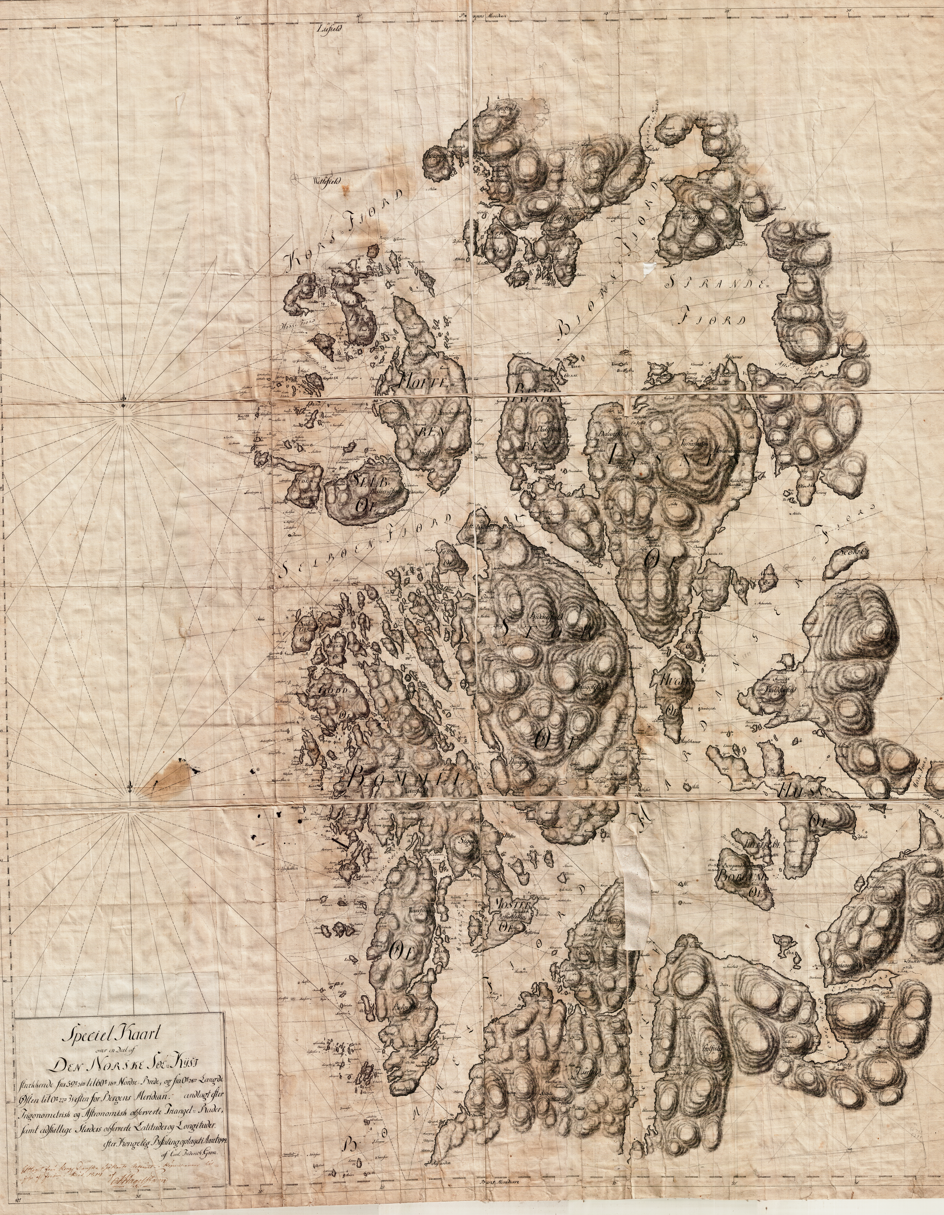
The image shows an old map of the British Virgin Islands, with the islands of the Pacific Ocean clearly visible.
Read full description
The image shows an old map of the British Virgin Islands, with the islands of the Pacific Ocean clearly visible. The map is printed on a piece of paper, with text written on it, likely providing further information about the islands.