Public domain photos
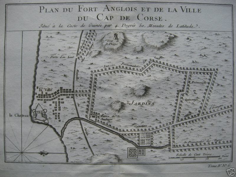
The image shows an old map of the city of Fort Anglois and the village of Cap de Corse. It is a paper with text on it, and there is a watermark in the bottom right corner. The map is detailed and shows the various streets, buildings, and other features of the area.
 Open in library