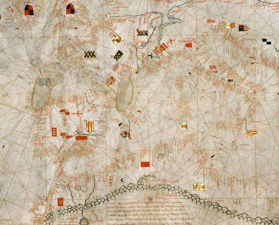
The image shows an old map of the British Isles with a lot of red and black dots scattered across it.
Read full description
The image shows an old map of the British Isles with a lot of red and black dots scattered across it. The map is filled with intricate details, such as the names of cities, rivers, and other geographical features. The red dots indicate the locations of various points of interest, while the black dots represent the distances between them. The text on the map provides further information about the map, making it a great resource for anyone looking to explore the world.