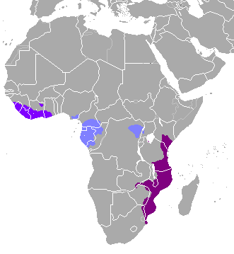
The image shows a map of Africa with the provinces highlighted in purple and blue, indicating the extent of the African continent.
Read full description
The image shows a map of Africa with the provinces highlighted in purple and blue, indicating the extent of the African continent. The map is filled with various shades of blue, ranging from light blue to dark blue, and the provinces are outlined in a darker shade of blue. The text on the map provides additional information about the region, such as the names of the countries and their borders.