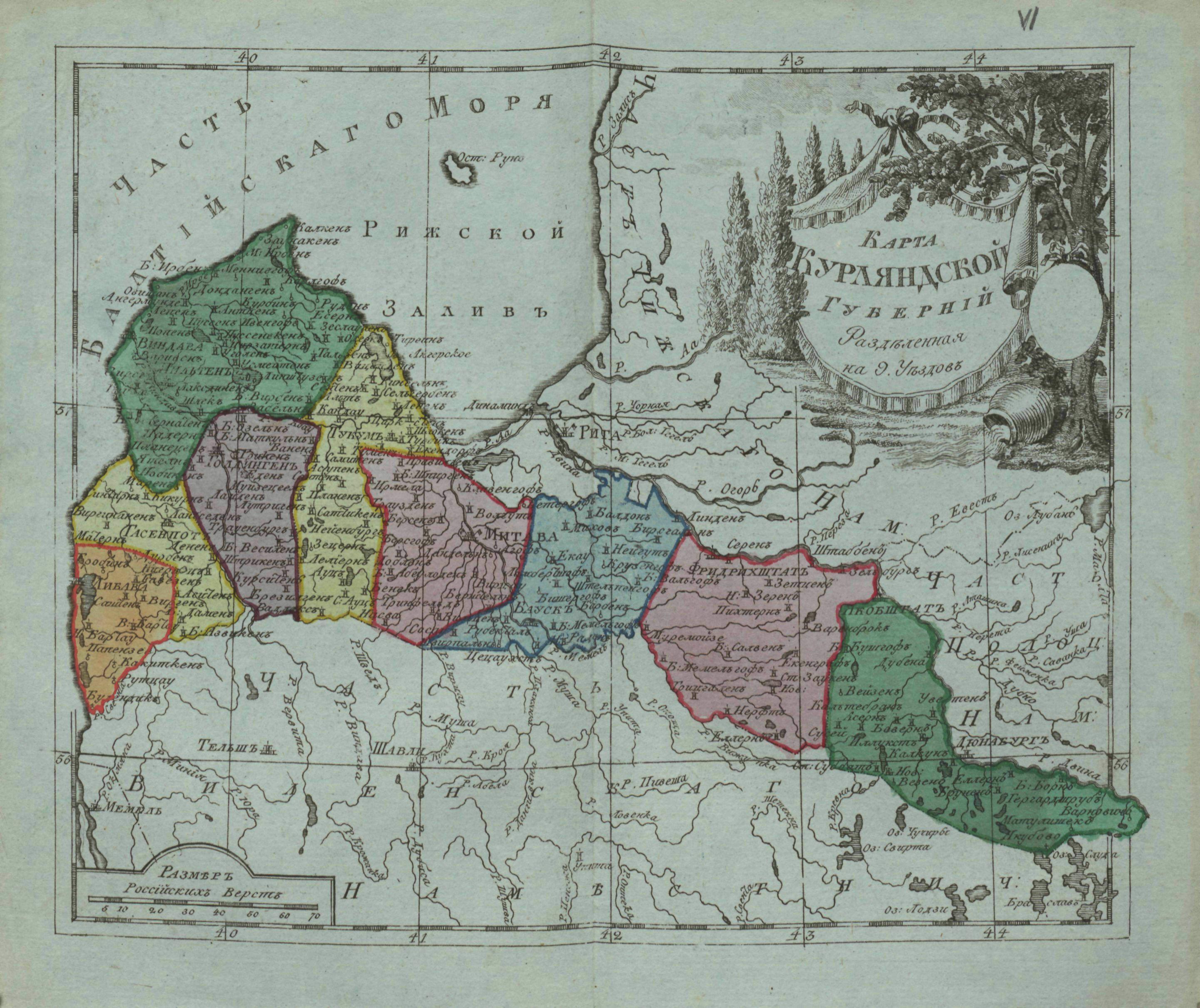
The image shows an old map of the British Isles with the provinces of England and Wales, as well as trees and text on the paper.
Read full description
The image shows an old map of the British Isles with the provinces of England and Wales, as well as trees and text on the paper. The map is detailed and shows the various geographical features of the region, such as rivers, mountains, and cities. The trees are lush and green, providing a natural backdrop to the map. The text is written in a classic font, adding to the timelessness of the image.