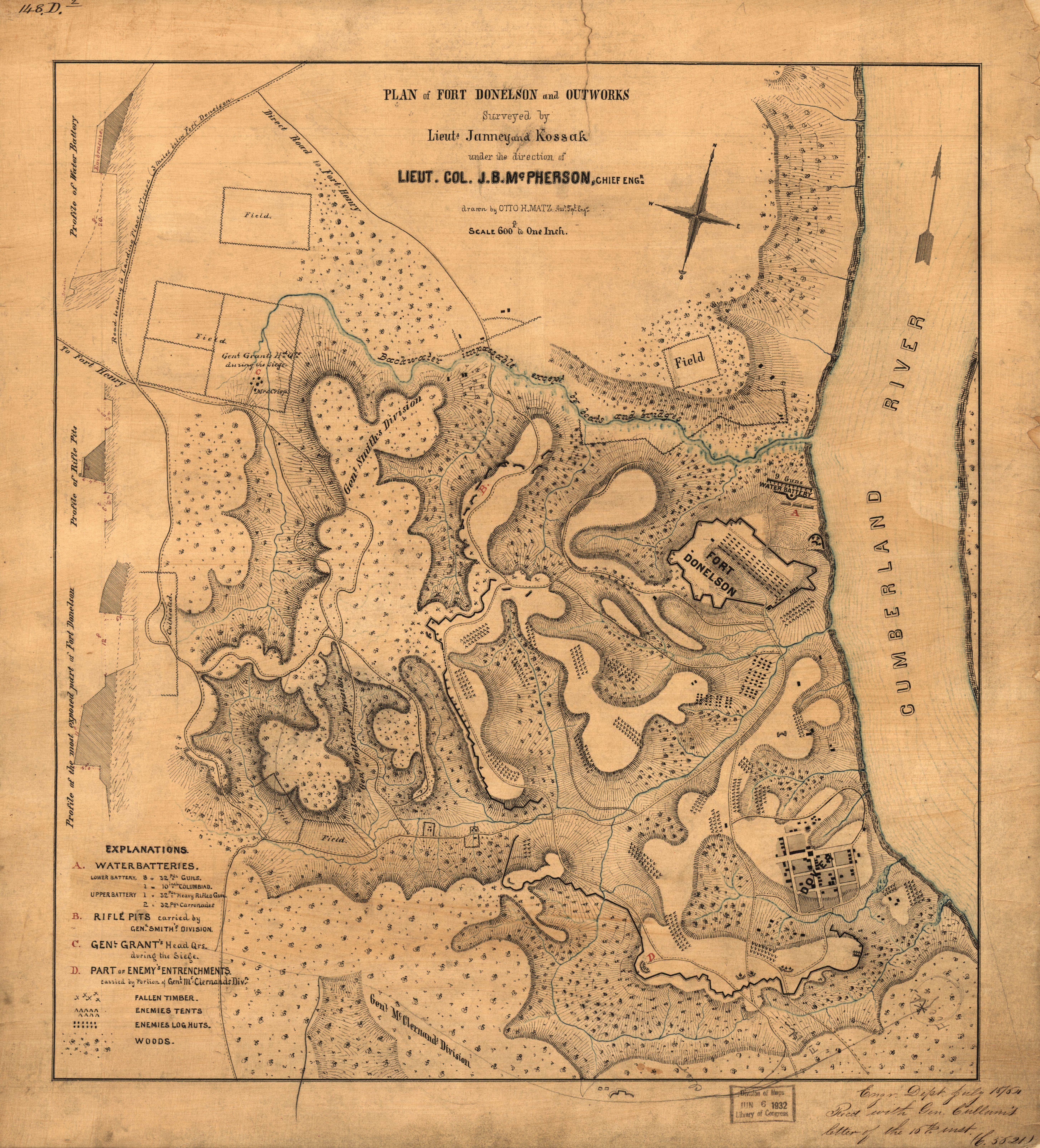
The image shows an old map of the Battle of Gettysburg, with text detailing the plan of Fort Donelson and Outworks.
Read full description
The image shows an old map of the Battle of Gettysburg, with text detailing the plan of Fort Donelson and Outworks. The map is filled with intricate details, such as roads, buildings, and other landmarks, all of which are labeled with their respective names. The text also includes a legend that explains the different colors used to represent the different sections of the map.