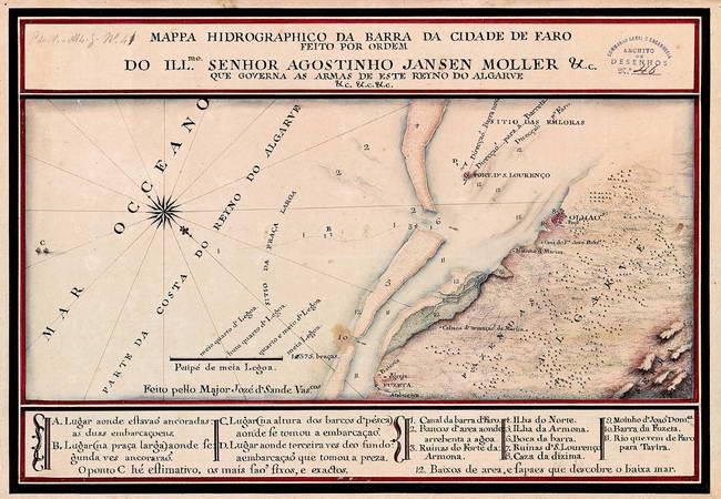
The image shows an old map of the British Isles with a compass in the middle of it, framed in a photo frame.
Read full description
The image shows an old map of the British Isles with a compass in the middle of it, framed in a photo frame. The map is from 1775 and is of the island of Agostinho Jansen Moller. The text on the map provides further details about the island, such as its size, location, and other features.