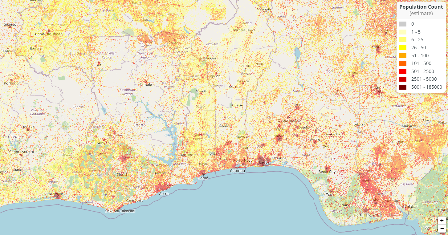
The image shows a map of Ghana with different colors representing the population density of the city.
Read full description
The image shows a map of Ghana with different colors representing the population density of the city. At the bottom of the map, there is a body of water, and on the right side of the image, there are numbers and text indicating the number of people living in each city.