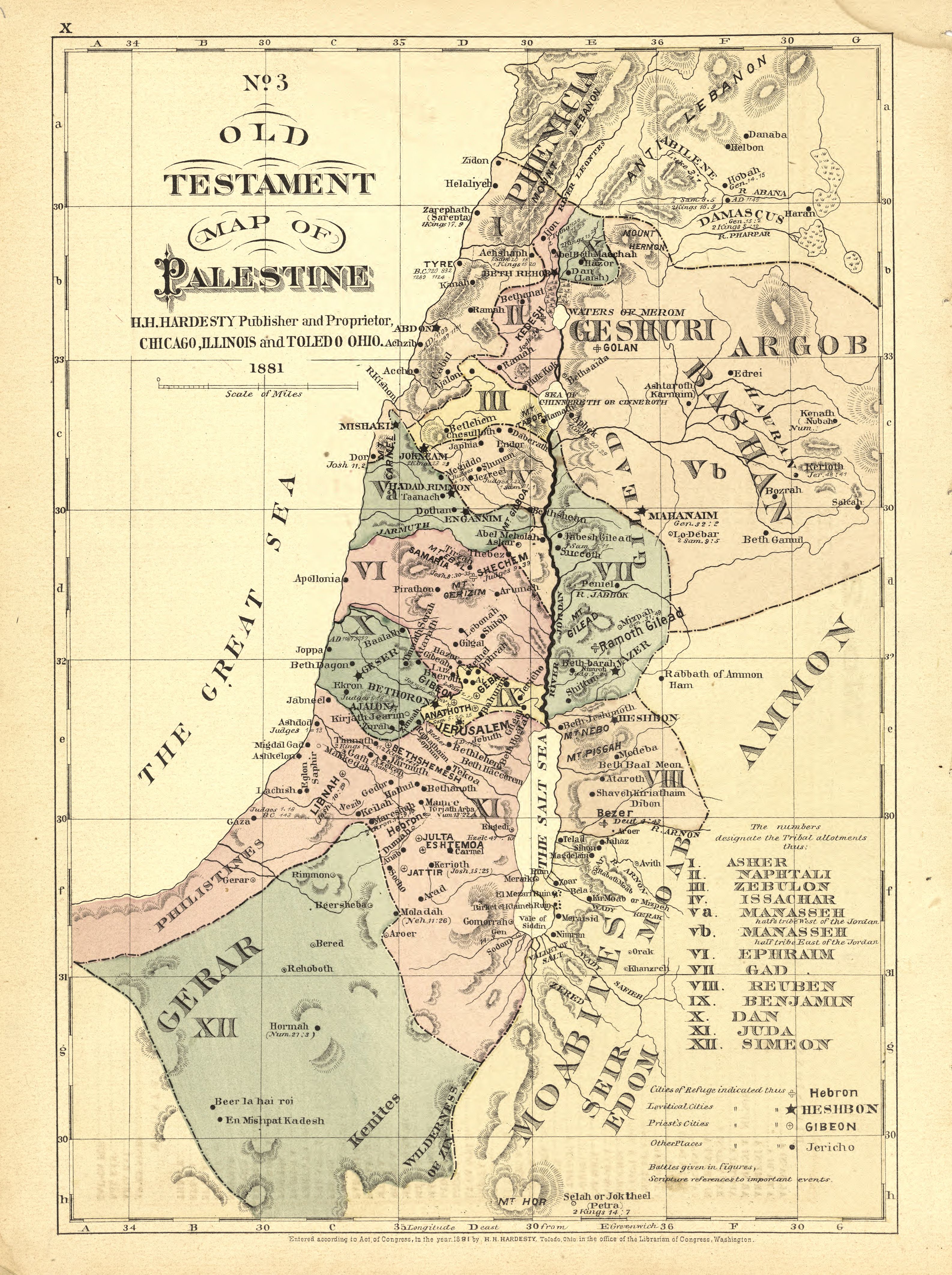
The image shows an old map of Palestine from 1881, with text detailing the extent of the British Empire.
Read full description
The image shows an old map of Palestine from 1881, with text detailing the extent of the British Empire. It is a detailed map, showing the various cities, towns, and other geographical features of the country.