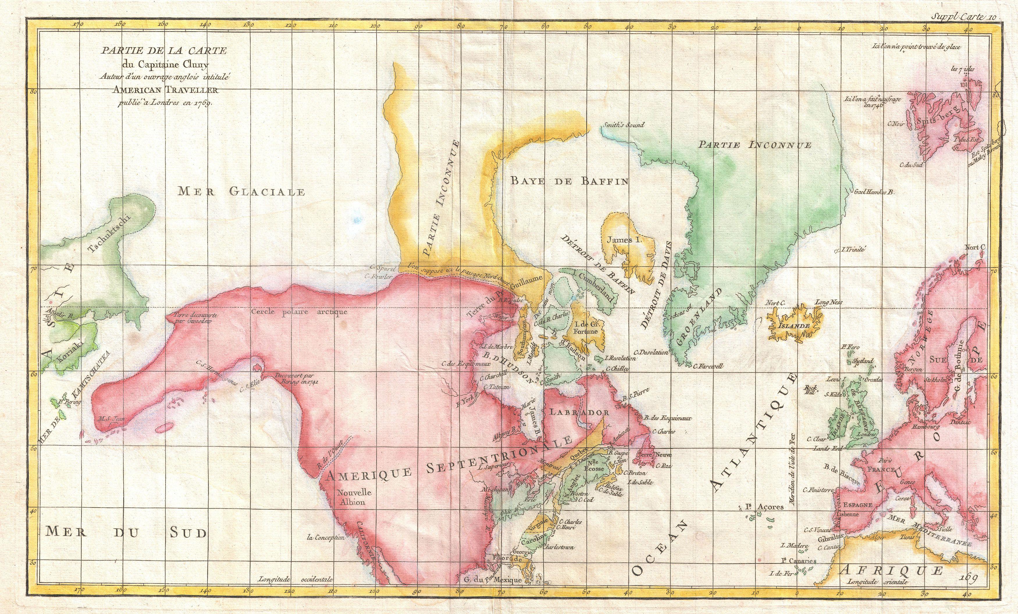
The image shows a map of the British Isles and the Mediterranean Sea, with text written on it.
Read full description
The image shows a map of the British Isles and the Mediterranean Sea, with text written on it. The map is detailed, showing the various countries and bodies of water that make up the continent. The colors used are mostly shades of blue, green, and yellow, with some hints of red and orange. The text on the map is written in a bold font, and the borders of the map are clearly visible.