Read full description
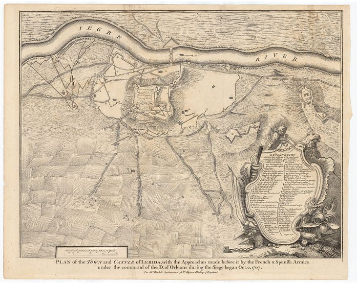
The image shows a map of the town and castle of Lerida, with the approaches made before it by the French and Spanish armies under the command of the D.O. of Orleans during the siege. The map is printed on a paper with text at the bottom.