Public domain photos
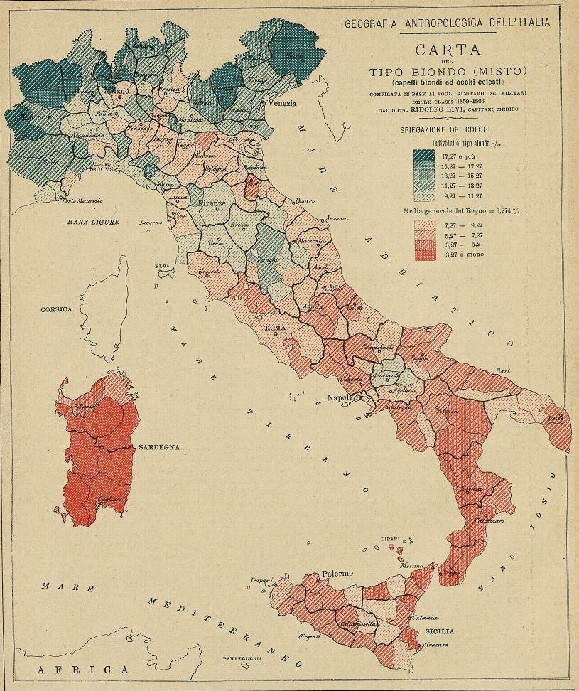
The image shows a map of Italy with different colors representing the percentage of people living in each country. The map is accompanied by text that provides further information about the population density of the region.
 Open in library