Public domain photos
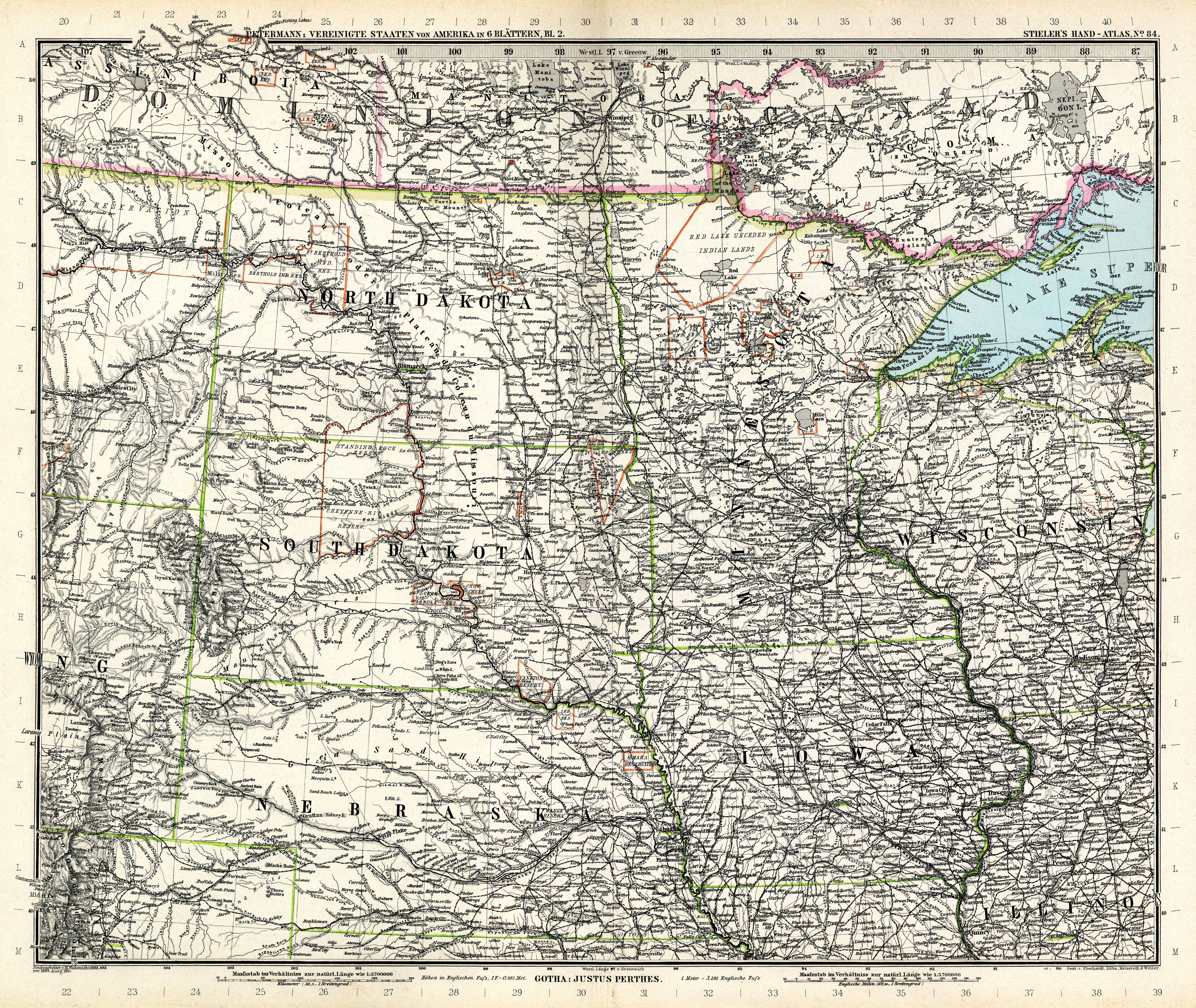
The image shows an old map of the United States of America, with the state of North Dakota highlighted. It is a detailed map, showing the various states and their borders, as well as the major cities, rivers, and other geographical features. The map is printed on a paper, giving it a classic look.
 Open in library