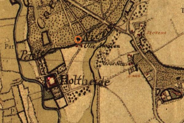
The image shows an old map of the city of London with a red circle in the middle, which is believed to be the location of the 17th century siege of Holthede.
Read full description
The image shows an old map of the city of London with a red circle in the middle, which is believed to be the location of the 17th century siege of Holthede. The map is detailed and shows the surrounding area, including roads, buildings, and other landmarks. The red circle is likely a symbol of the siege, and the text on the map provides further information about the siege.