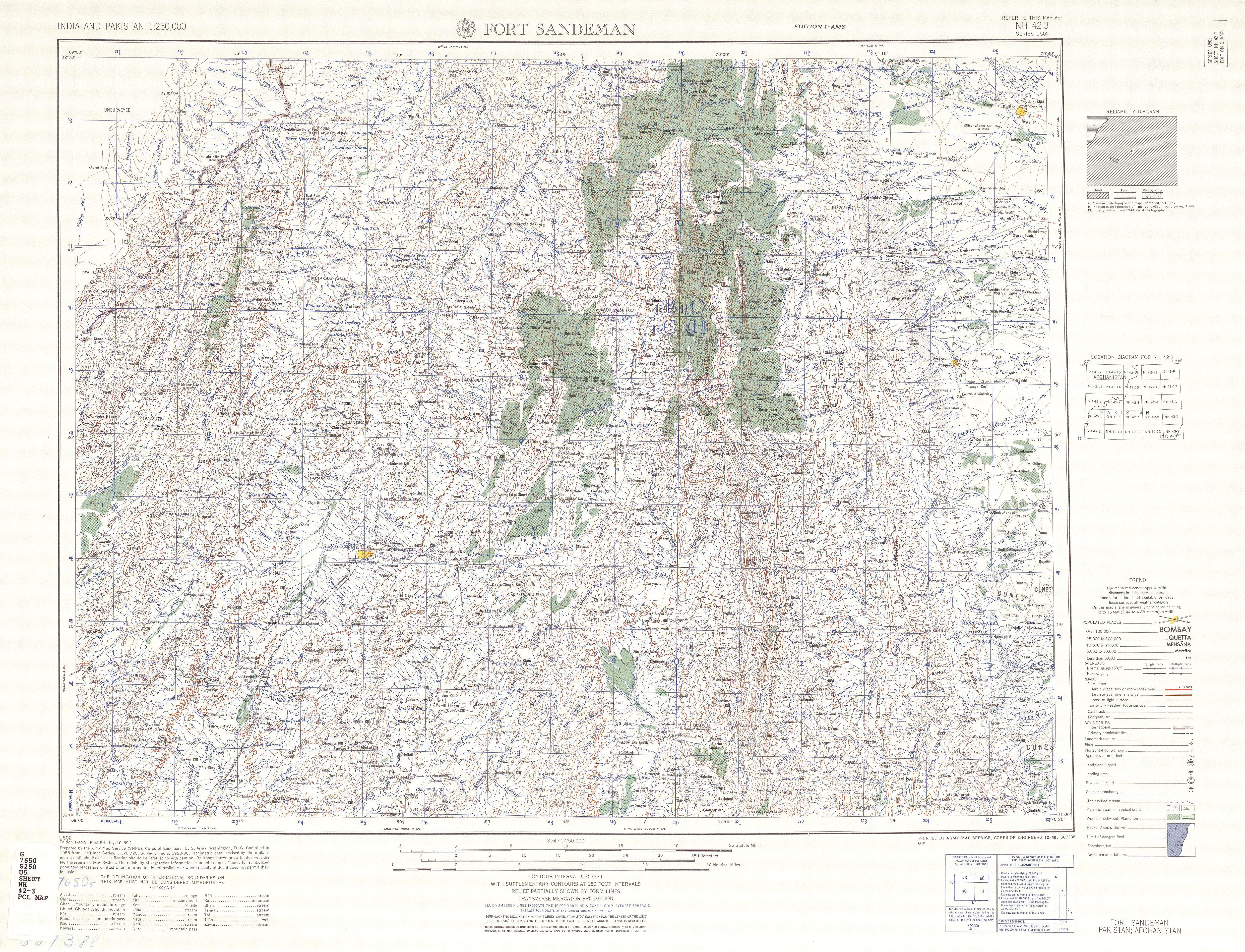
The image shows a topographic map of the area of Fort Sandeman, Colorado.
Read full description
The image shows a topographic map of the area of Fort Sandeman, Colorado. It is a detailed map with various features such as mountains, rivers, and cities labeled. The map is filled with intricate lines and shading to indicate the contours of the terrain. The colors used are mostly shades of green and brown, giving the map a realistic look.