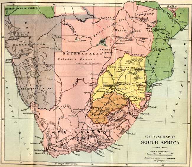
The image shows a political map of South Africa from 1884, with text at the top and bottom of the paper.
Read full description
The image shows a political map of South Africa from 1884, with text at the top and bottom of the paper. The map is detailed and shows the various countries and regions of the continent, as well as the major cities, rivers, and other geographical features. The colors used are mostly shades of blue, green, and yellow, with some hints of red and orange. The text on the paper is written in a bold font and is likely a title or description of the map.