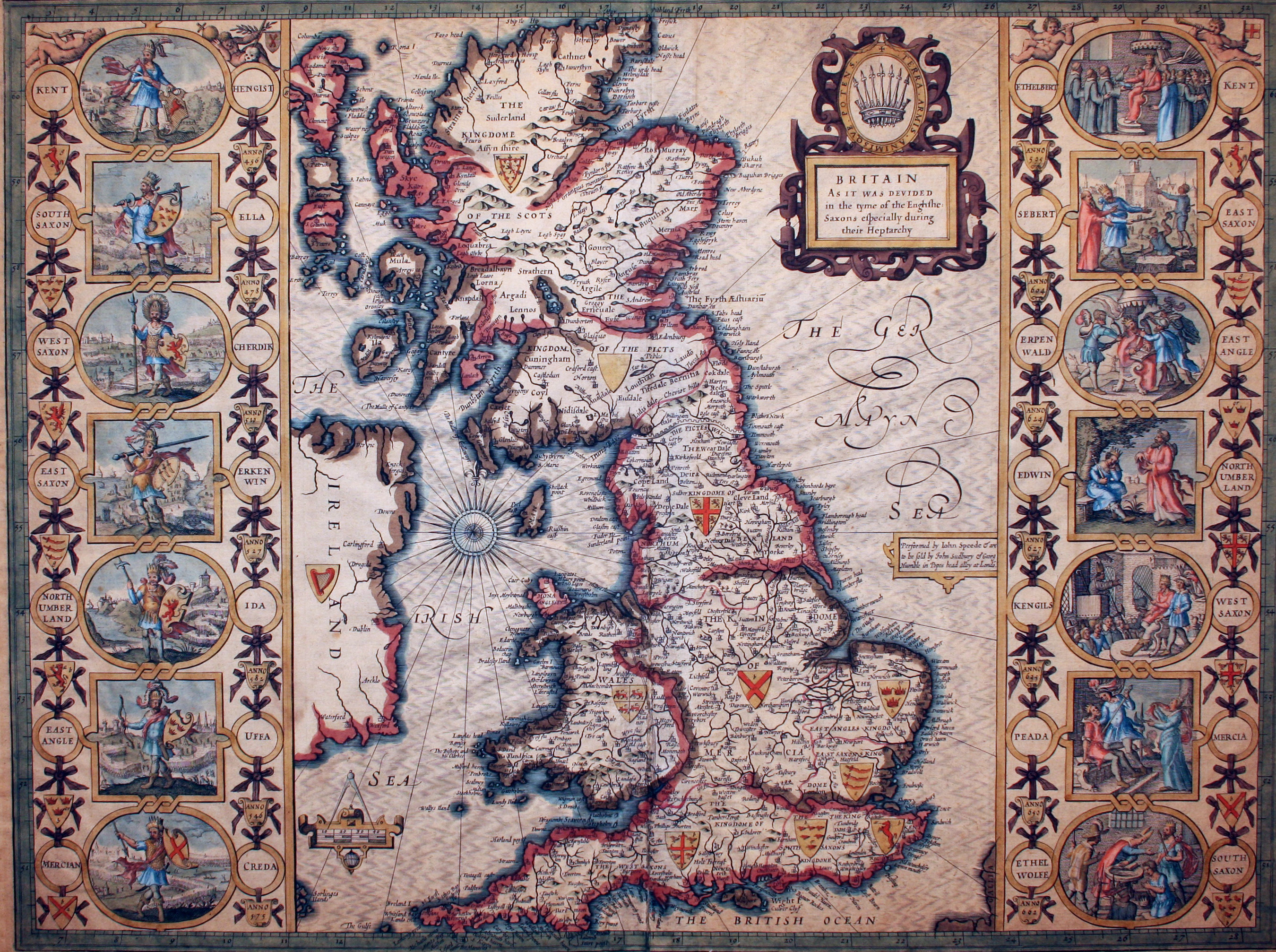
The image shows a map of England and Wales from the 16th century, with pictures and text on it.
Read full description
The image shows a map of England and Wales from the 16th century, with pictures and text on it. It is a detailed map of the British Isles, with the counties of England, Wales, and Scotland clearly visible. The map is framed in a photo frame, giving it a classic look.