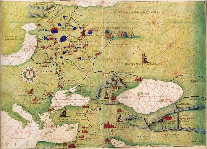
The image shows an old map of the Roman Empire from the 16th century, depicting the extent of the Mediterranean Sea.
Read full description
The image shows an old map of the Roman Empire from the 16th century, depicting the extent of the Mediterranean Sea. It is a detailed map, showing the various cities, rivers, and other geographical features of the region. The colors used are mostly shades of blue and green, with some yellow and red accents. The map is framed in a wooden frame, giving it a classic look.