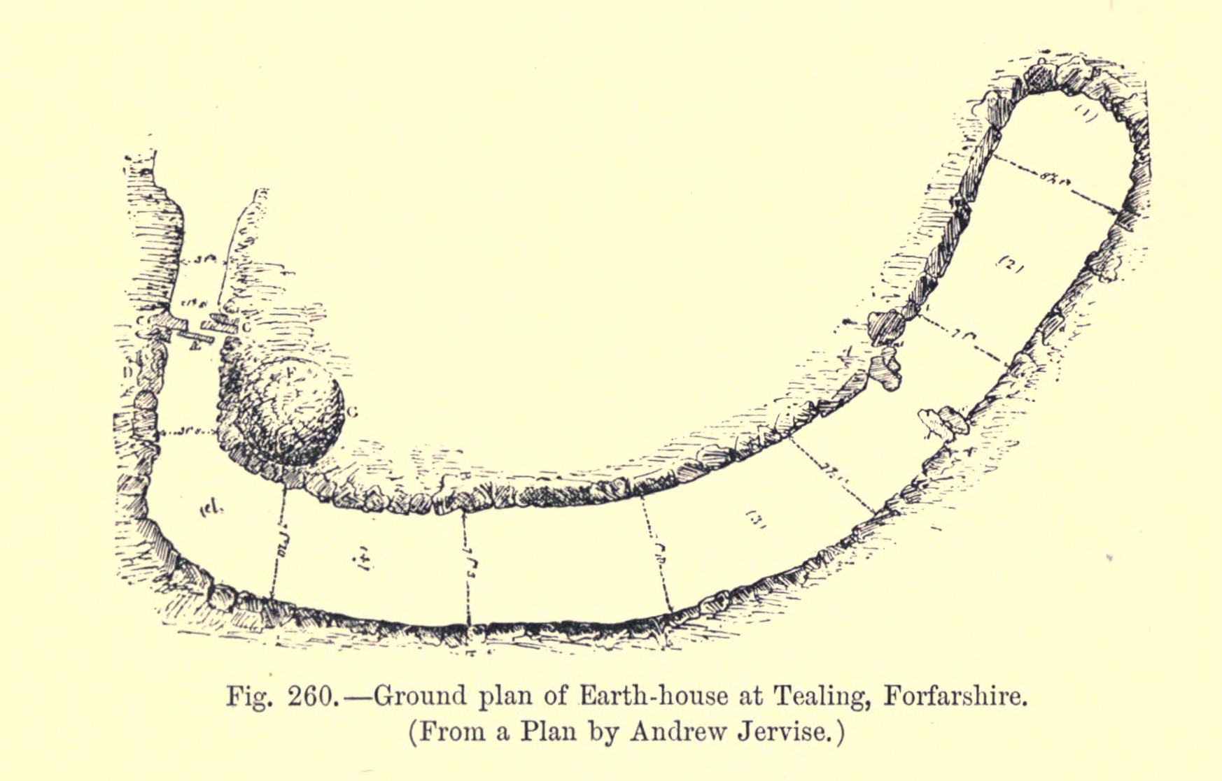
The image shows a drawing of a map of the ground plan of Earth-house at Tealing, Forfarshire, with text at the bottom.
Read full description
The image shows a drawing of a map of the ground plan of Earth-house at Tealing, Forfarshire, with text at the bottom. The map is detailed and shows the various features of the house, such as the roof, walls, and windows, as well as the surrounding landscape. The text provides further information about the house's layout, including its size, location, and other features.