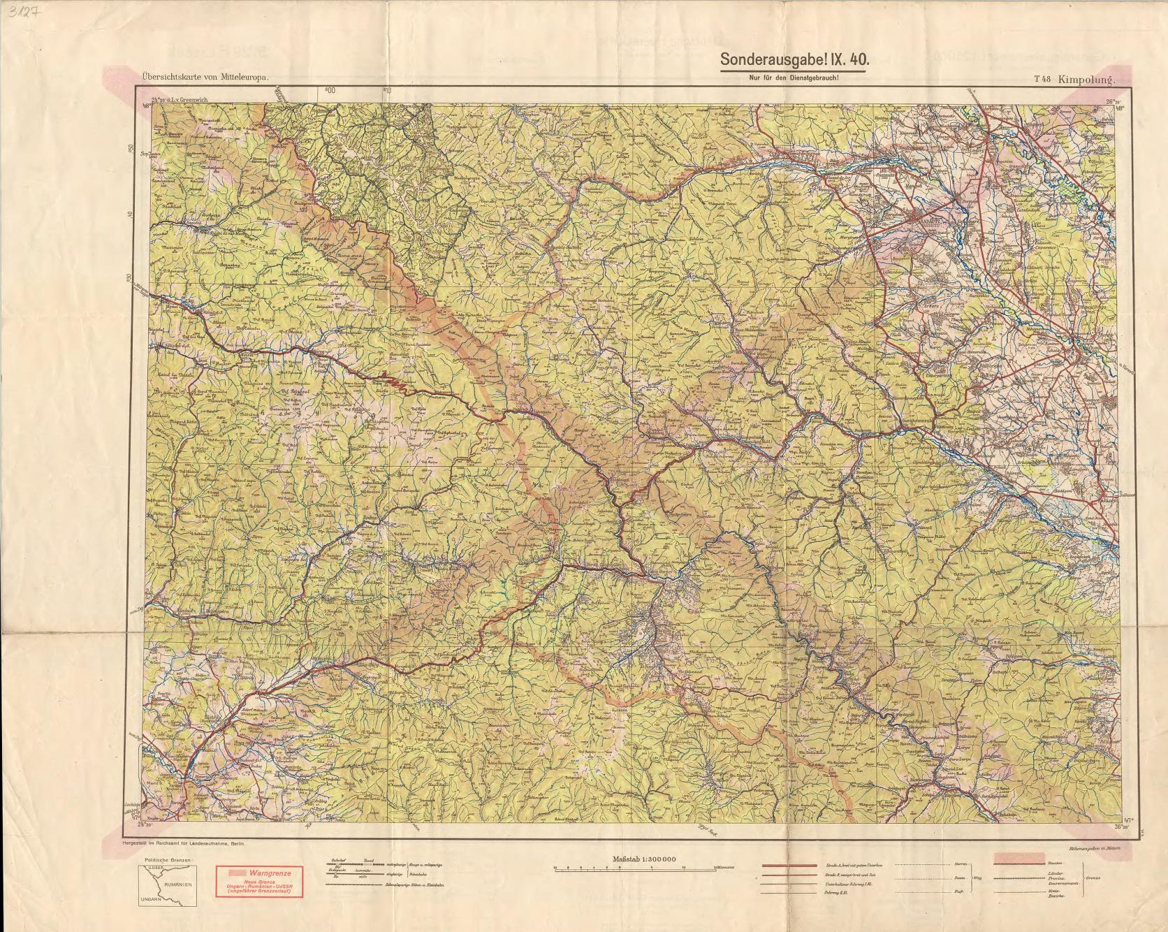
The image shows a topographic map of the area of the German Empire, with the Sonderausgabel region in the center.
Read full description
The image shows a topographic map of the area of the German Empire, with the Sonderausgabel region in the center. The map is filled with intricate details, including roads, rivers, and other geographical features. The text on the map provides additional information about the region, such as its population, elevation, and terrain.