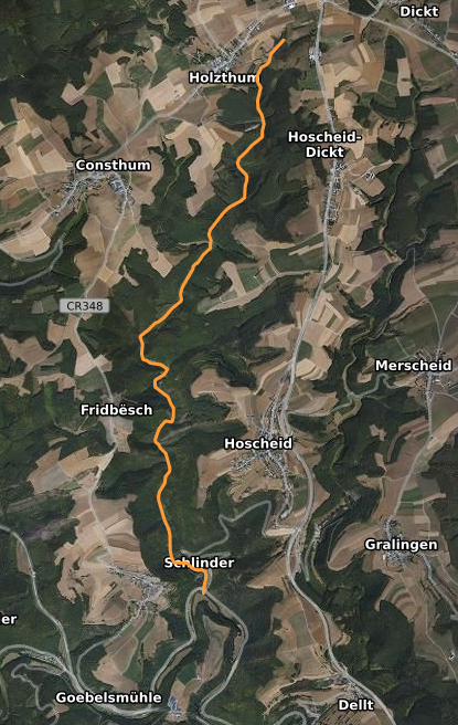
The image shows a satellite view of a map with a yellow line indicating the route of a hike in the mountains.
Read full description
The image shows a satellite view of a map with a yellow line indicating the route of a hike in the mountains. The map is detailed and shows the various terrain features of the hike, such as mountains, valleys, and rivers. The yellow line indicates the start and end points of the journey, and the text on the map provides additional information about the route.