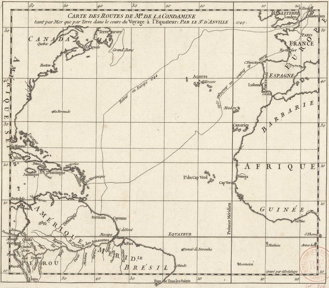
The image shows an old map of the British Virgin Islands, with text and a stamp on it.
Read full description
The image shows an old map of the British Virgin Islands, with text and a stamp on it. It is a carte des routes de la condamine, which is a detailed map that shows the various routes of the Caribbean Sea. The map is filled with intricate details, such as the names of cities, rivers, and other geographical features, as well as the distances between them. The stamp on the map indicates that it is a historical document, likely from the time period.