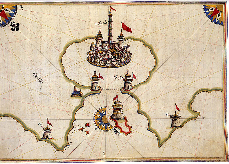
The image shows an old map of the Middle East with a castle in the middle of it, surrounded by flags and text.
Read full description
The image shows an old map of the Middle East with a castle in the middle of it, surrounded by flags and text. The map is from the 15th century and is believed to be a representation of the Persian Empire. The castle is situated in the center of the map, with the flags surrounding it. The text on the map likely provides further information about the region.