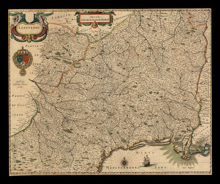
The image shows an old map of England and Wales, with a black background.
Read full description
The image shows an old map of England and Wales, with a black background. The map is detailed and shows the various counties and towns of England, as well as the borders of the country. There are also some text and logos on the map, likely indicating the names of the towns and cities.