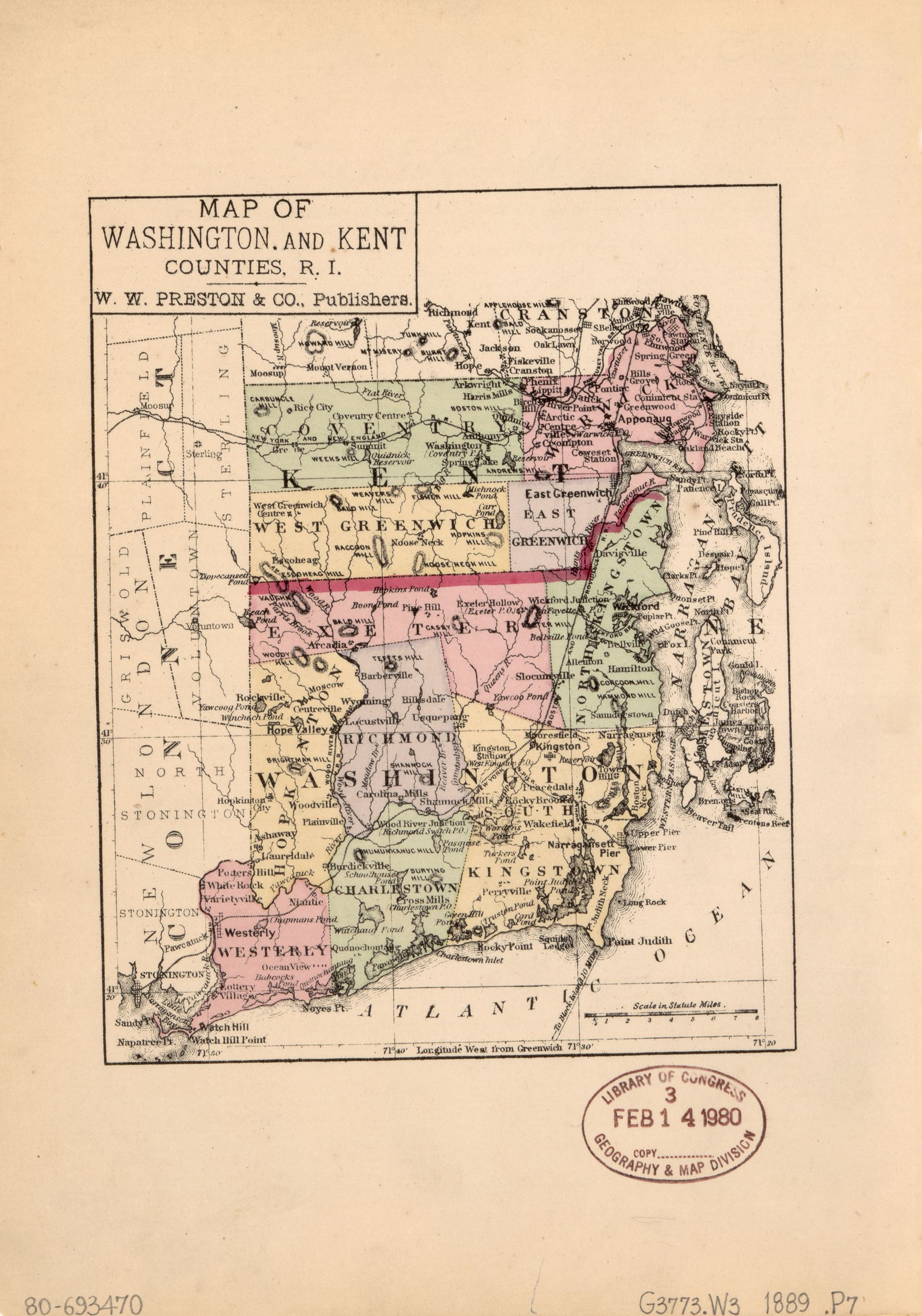
The image shows a map of Washington and Kent counties, with text and a stamp on the paper.
Read full description
The image shows a map of Washington and Kent counties, with text and a stamp on the paper. The map is detailed, showing the various counties and their borders. The text on the map provides additional information about the counties, such as their names, cities, and other geographical features. The stamp adds a unique touch to the map, making it stand out from the rest of the image.