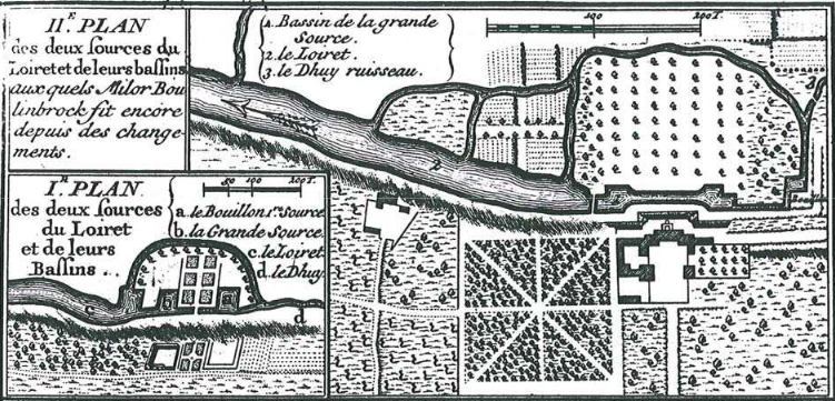
The image shows a black and white drawing of a map of a city with a river running through it.
Read full description
The image shows a black and white drawing of a map of a city with a river running through it. The text on the paper reads "Plan de la loiret de la grande ballins". The map is detailed and shows the layout of the city, with roads, buildings, and other features clearly visible. The river runs through the center of the map, winding its way through the city and connecting the two sides.