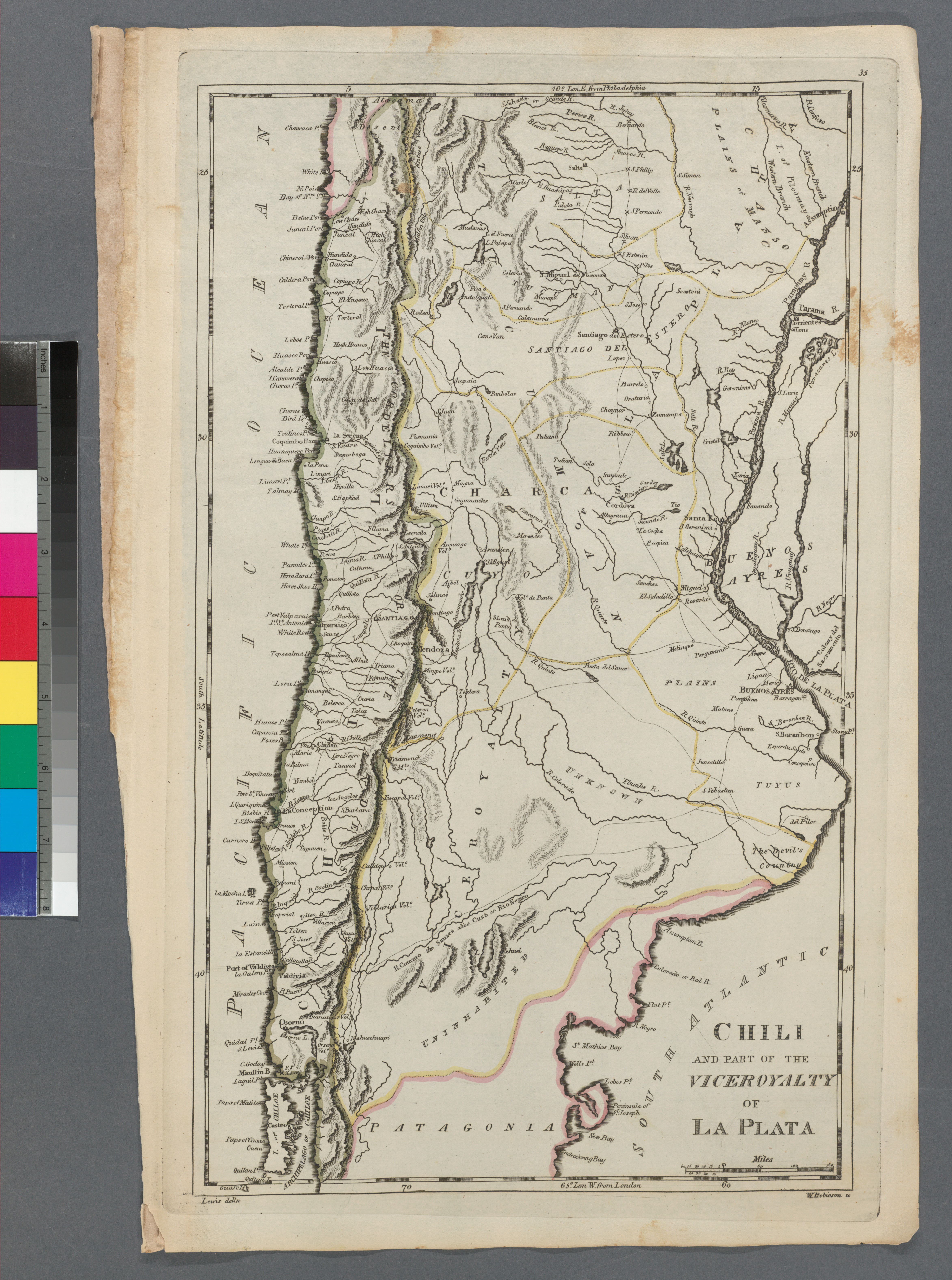
The image shows a map of Chile and the Vicoroyalty of La Plata, with text and color scales on the left side.
Read full description
The image shows a map of Chile and the Vicoroyalty of La Plata, with text and color scales on the left side. The map is detailed, showing the various geographical features of the region, such as rivers, mountains, and cities. The colors used are shades of blue, green, yellow, and red, which are used to indicate the different elevations of the land. The text on the map provides additional information about the region and its inhabitants.