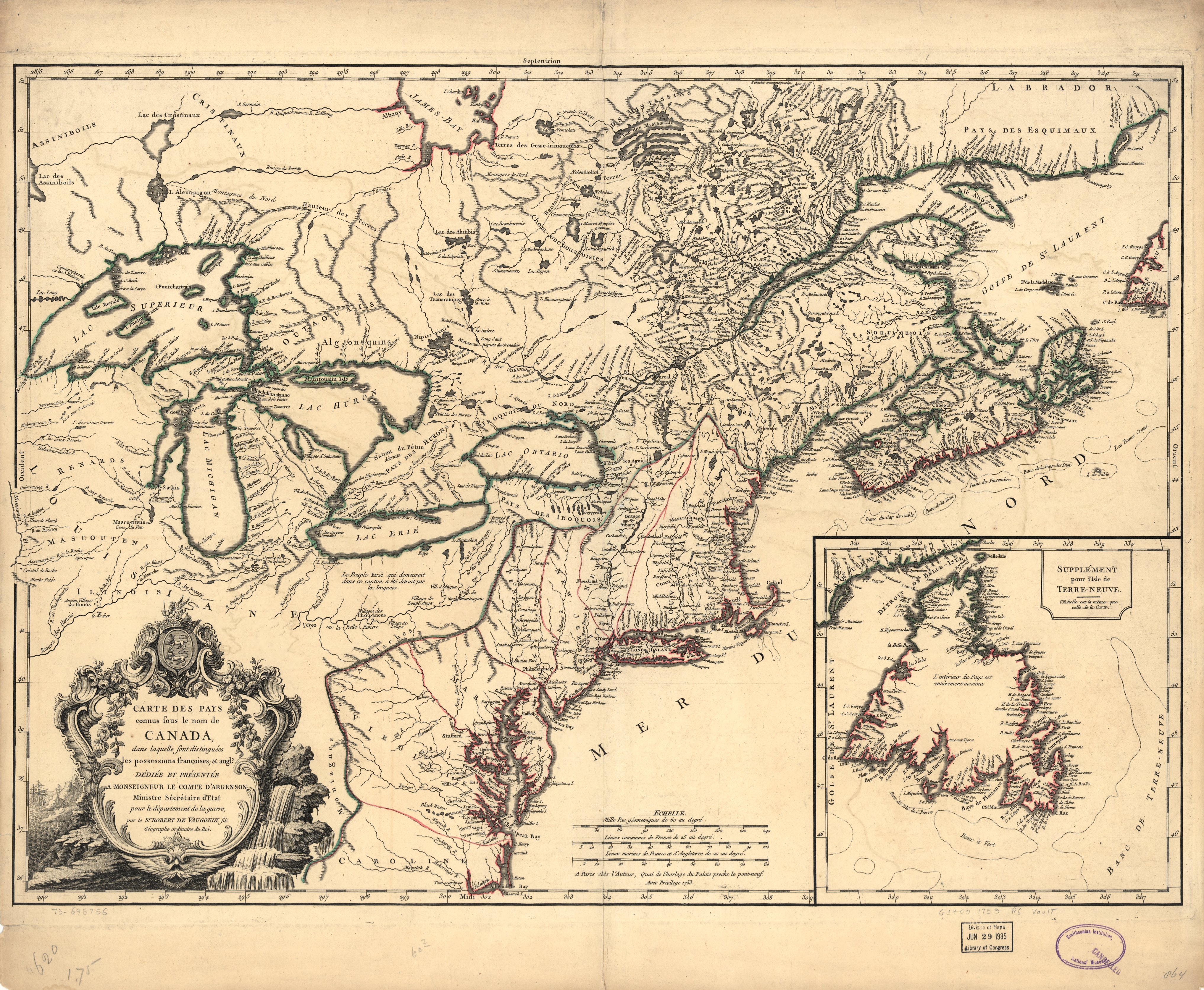
The image shows an old map of the British Isles and the British Virgin Islands, with text and a logo on the paper.
Read full description
The image shows an old map of the British Isles and the British Virgin Islands, with text and a logo on the paper. It is a carte des pays de Canada, a geographical map of Canada, created by Jacques-Louis David.