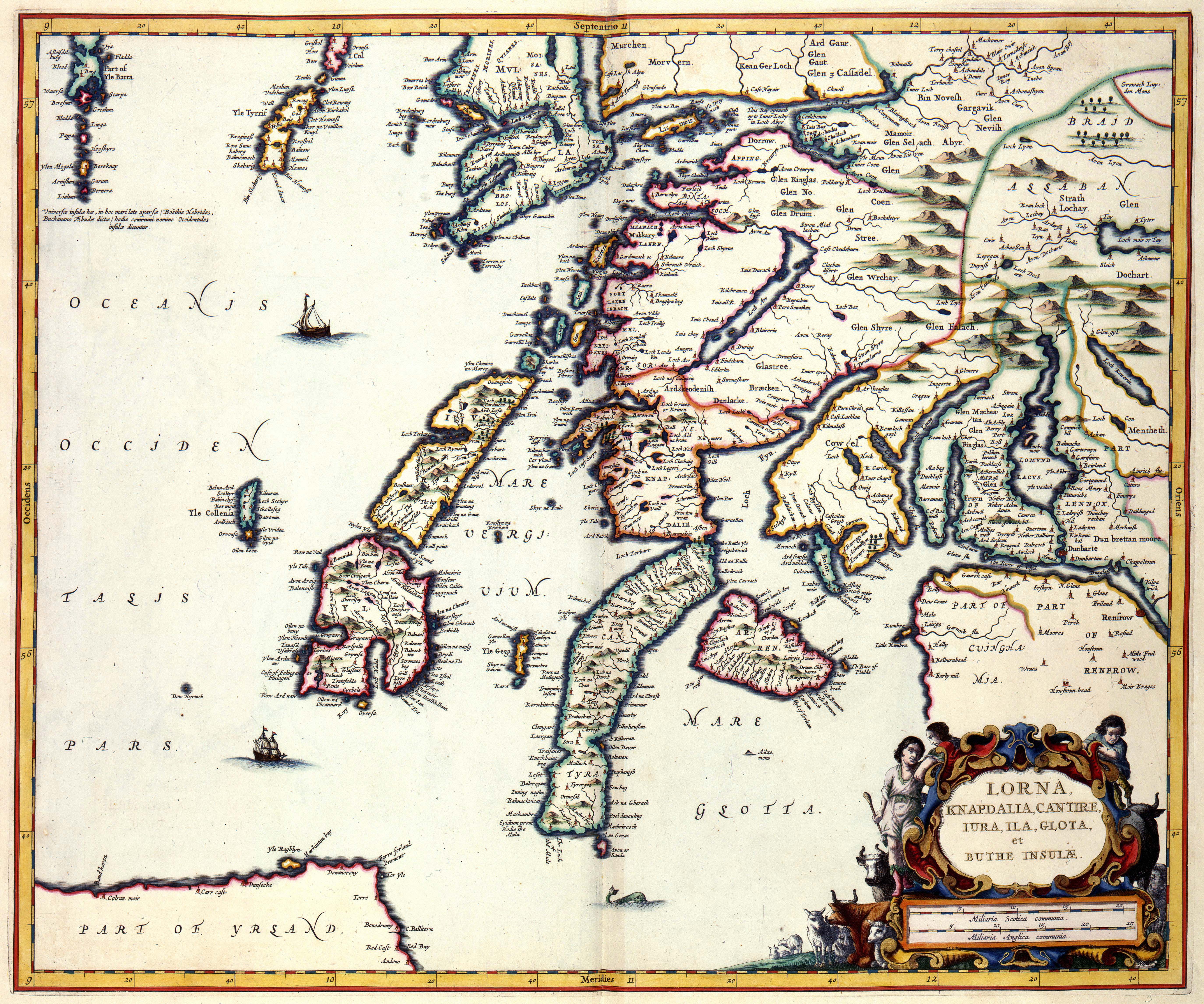
The image shows an old map of the British Isles, with the islands of Norway, Sweden, and Finland clearly visible.
Read full description
The image shows an old map of the British Isles, with the islands of Norway, Sweden, and Finland clearly visible. The map is framed with text and pictures, providing a detailed look at the geographical features of the islands.