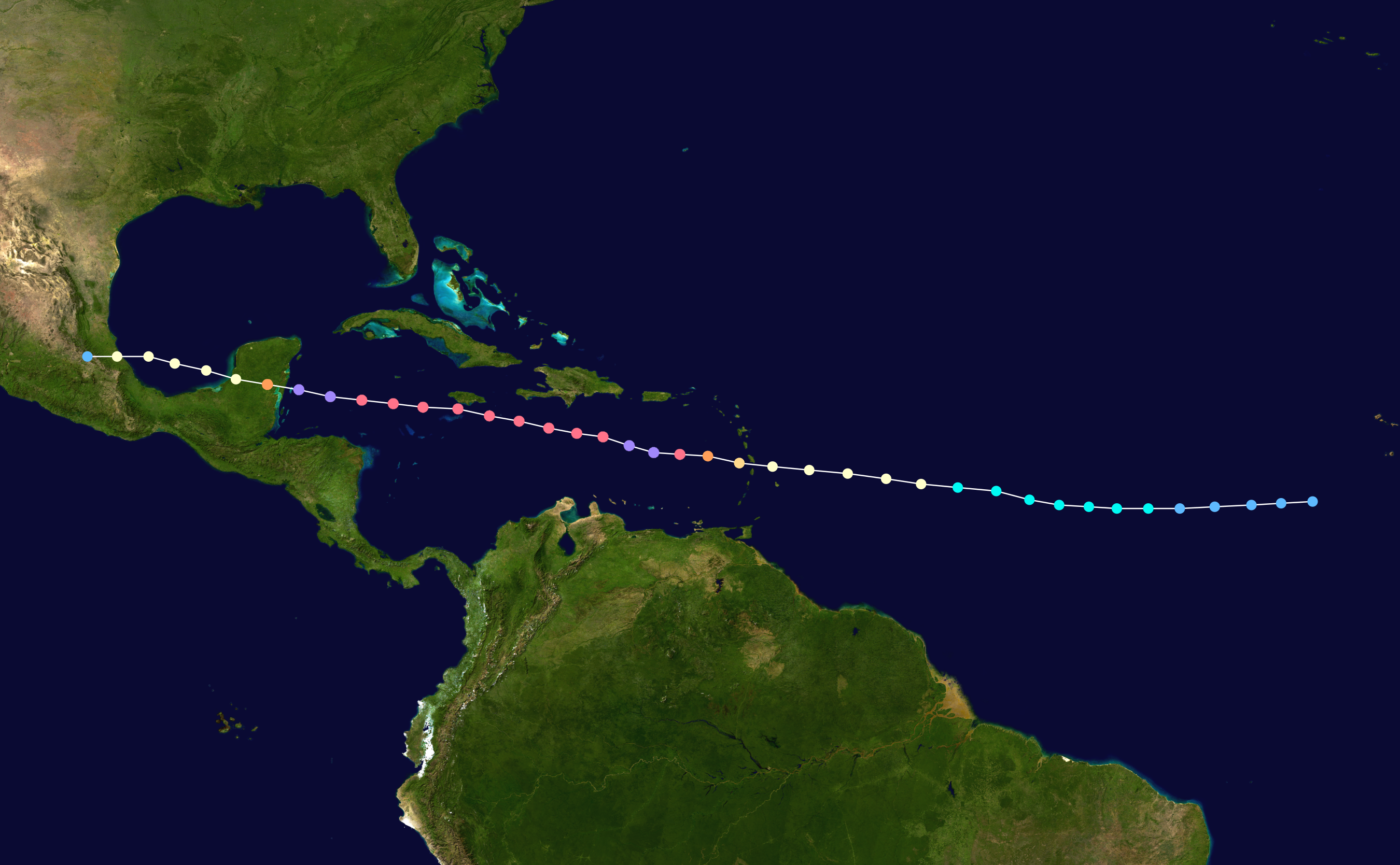
The image shows a satellite view of the Gulf of Mexico, with the path of Hurricane Irene clearly visible.
Read full description
The image shows a satellite view of the Gulf of Mexico, with the path of Hurricane Irene clearly visible. The map is filled with various shades of green, indicating the depths of the ocean, and the path is marked with a dotted line.